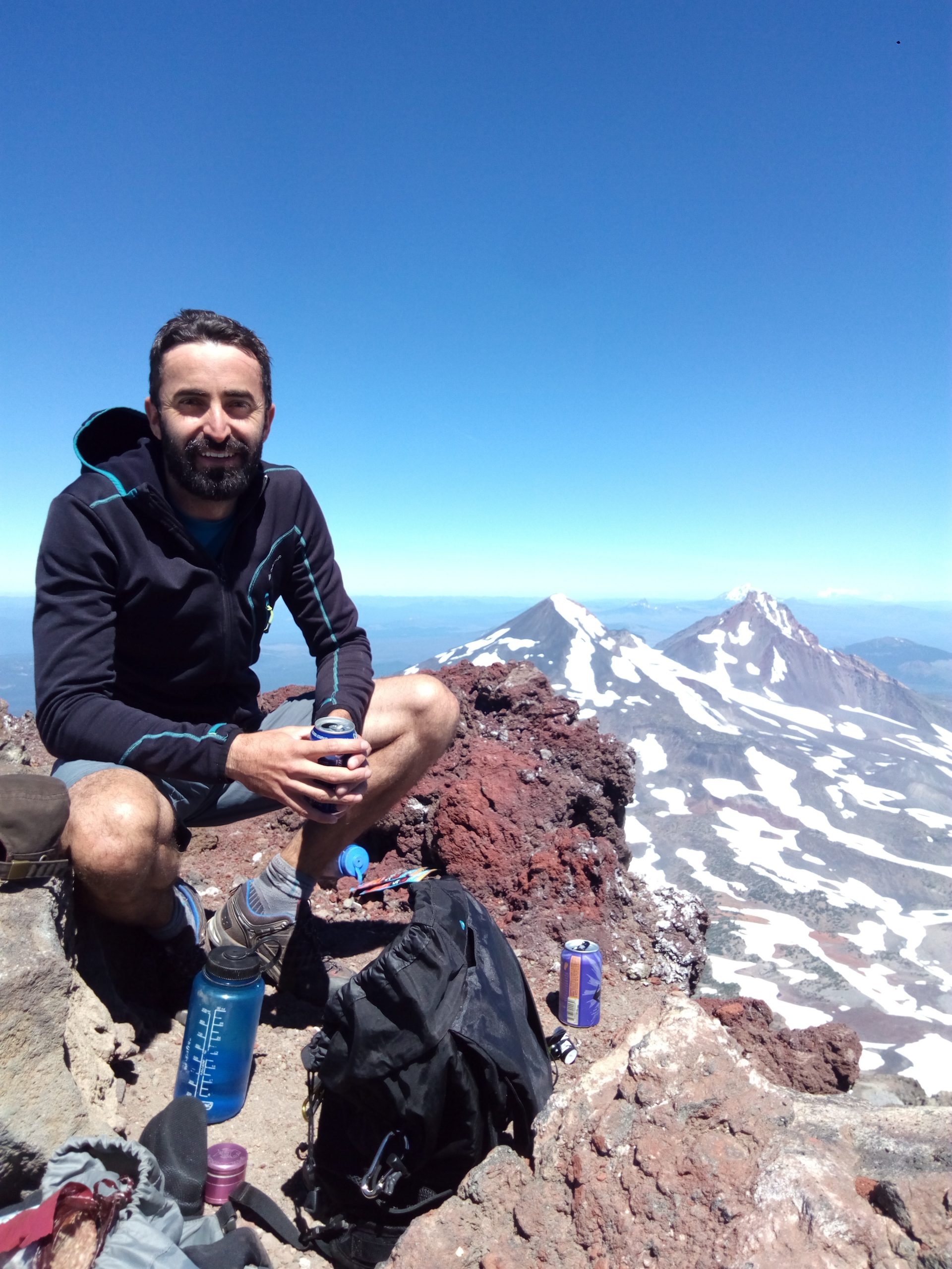
Chris Mulverhill

Chris was born in Illinois and raised in Texas, where he lived for 13 years. After high school, he traded Hill Country scrubland for Douglas-fir forests by studying at the University of Oregon, where he would go on to earn a BS in Environmental Science. Through his courses and a research assistantship, Chris was able to explore his interests in forest biology and geospatial technologies. After his undergraduate degree, he moved further north to join the IRSS as a Master’s student in 2016. Instead of applying for political asylum, he converted his degree to a PhD, which he completed in 2020. His PhD research focused on the use of airborne lidar and terrestrial photogrammetry for enhancing forest inventory at multiple spatial and temporal scales.
After some time back in the US, Chris rejoined the lab in November 2021 as a Postdoctoral Researcher. His project is a part of the Silva21 project and will work to develop and implement a framework for continued and timely update of fine-scale forest inventory attributes. Using data from multiple remote sensing sources, this will then be implemented at sites across Canada to produce near-real time estimates of forest change and development.
When he’s not in the lab, you can find Chris on the patio of a local brewery, fueling himself with the good carbs and bad ideas necessary for his next outdoor adventure.
José Riofrío
 José grew up in the heart of the Ecuadorian Andes. Surrounded by mountains, he was naturally attracted by them and explored them by climbing, biking, and running.
After obtaining a degree in Agronomic Engineering, José worked on research and development projects in different agricultural landscapes and forest ecosystems from the high mountains in the Andes to the Amazonian rainforest. His interest in understanding the drivers that change forest ecosystems led him to receiving a MSc and PhD on Sustainable Forest Management at the University of Valladolid in Spain.
His research has been focused on analyzing the effects of tree species interactions on the processes involved in growth and yield of mixed-species forests. From tree to stand-level and different temporal and spatial scales, his interests include developing tools to properly design silvicultural guidelines for adaptive forest management strategies by modelling forest dynamics.
Jose is a Postdoctoral fellow at IRSS, UBC working on integrating forest stand attributes derived from LiDAR data into operational and spatially-explicit forest growth and yield models.
Amy Wotherspoon
 Amy (she/her) is originally from Ontario where she completed her B.Sc. at the University of Guelph in environmental biology and forest science and a M.Sc. in carbon sequestration potential of agroforestry systems.She left the flat lands of southwestern Ontario for the Quebecois forests and ended up at the Université de Sherbrooke to complete her PhD in forest ecology. There, she studied the interactions between silviculture treatments and climate through a diversified approach of functional ecology, soil chemistry, tree physiology and dendrochronology.In the hunt for bigger trees, Amy moved to UBC to become a Postdoctoral Fellow as part of the Silva21 project and is responsible for generating climate envelopes and exploring climate modifiers and their effect on tree growth, as well as implications of climate change for forest management across Canada. She is also the project’s scientific coordinator and unofficial French-English translator, graphic and web designer, social media rep and HQP cheerleader.Outside the world of academia, Amy is a nutrition coach and crossfitter. She enjoys working out as a way to prepare for the hiking season and to balance out patio beers and restaurant exploring.
Yuwei Cao
 Yuwei Cao is a Geo-information engineer with a specialized focus on 3D point cloud data reconstruction and semantic segmentation. She earned her PhD from Politecnico di Milano, Italy. Her research interests are deeply rooted in 3D vision, with a particular emphasis on Levels of Detail (LoDs) models, 3D point cloud segmentation, 3D feature learning, and 3D reconstruction. Her work aims to advance the field by developing sophisticated methods for interpreting and utilizing 3D spatial data.
Yuwei utilizes LIDAR and other remote sensing data to assess stand species composition in the IRSS lab at the University of British Columbia (UBC). This innovative approach will enhance the precision and efficiency of environmental assessments and contribute valuable insights to the field of remote sensing.
Outside of her professional pursuits, Yuwei is passionate about outdoor activities. She enjoys hiking, skiing, camping, and trekking, finding inspiration and rejuvenation in nature.
Leonard Hambrecht

Leonard is researching the use of copter and fixed-wing drones for surveys of wildlife populations, a long-standing career goal. Specifically, his research aims to leverage the benefits of drones in combination with thermal imaging technology and AI-based image analysis to enhance and support existing aerial survey methods. As part of the TerraLuma research group, Leonard completed his PhD at the University of Tasmania, AU, in 2024, where he gained experience in drone-based remote sensing techniques, particularly lidar. Originally from Germany, he holds an M.Sc. in Wildlife Conservation & Drone Technology from Liverpool John Moores University, UK, and a B.Sc. in Wildlife Management from Van Hall University of Applied Sciences, NL.
James McGlade

James was born in Melbourne, Australia, growing up in the port town of Geelong where he completed a Bachelor of Design (Architecture) at Deakin University in 2015. Pivoting from pursuing further studies in landscape architecture, having always had an interest in the natural environment and spatial science, he completed a Masters of Geospatial Science (2019) and PhD in Geospatial Sciences (2024) at RMIT University, Melbourne.
James’ PhD explored the application of proximal low-cost 3D remote sensing technologies for structural forest measurement. Specifically, how these broadly accessible phone and tablet sensors fit within the broader constellation of remote sensing technologies when considering forest measurement. As a post doctoral fellow working on the WIRED project, James is now exploring the application of multitemporal airborne LiDAR for monitoring risk to rural electrical transmission infrastructure from vegetation encroachment.
In his spare time James enjoys trail running and hiking when the weather is nice, or bouldering (indoors on colourful rocks and soft mats) and painting when it’s not.
Juan Pedro Carbonell-Rivera
 Juan Pedro is a Spanish geomatics engineer, born in Córdoba and raised in Valencia. He earned his PhD in Geomatics Engineering from the Universitat Politècnica de València (UPV), where he focused on developing remote sensing methodologies for fine-scale forest structure characterization and the estimation of fire-related variables using UAV-based digital aerial photogrammetry (UAV-DAP). His research integrated photogrammetric point cloud segmentation and classification using machine learning and deep learning techniques to identify species composition and derive key variables such as aboveground biomass.
Currently, Juan Pedro contributes to national-scale mapping of forest fuel attributes across Canada. His work integrates LiDAR data, radiative transfer simulations, and optical satellite imagery to develop scalable workflows that link LiDAR-derived structure with Landsat time series, enabling the extrapolation of vegetation and fuel characteristics across diverse forest ecosystems.